
Reichenbach-SteegenRamstein Air Base · KMC


LEISURE TIME
Good to know
Regional activities
Looking for more events and recreational activities in the region?
Ramstein and Kaiserslautern
Download the
- CALENDAR OF EVENTS and
- LEISURE & SIGHTS brochure
for the Ramstein and Kaiserslautern area here.
Palatinate region
You can also visit the official website of the Rheinland-Pfalz Tourism Office to find out more about
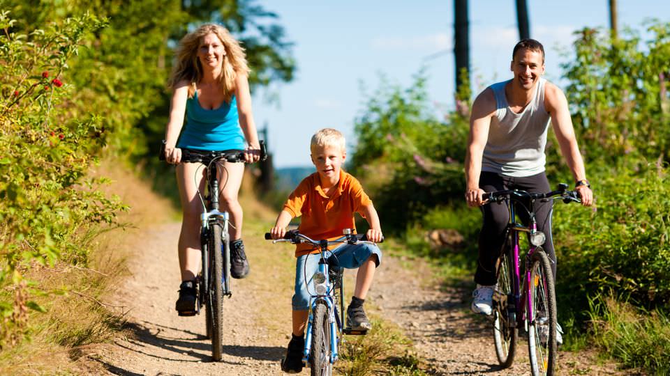
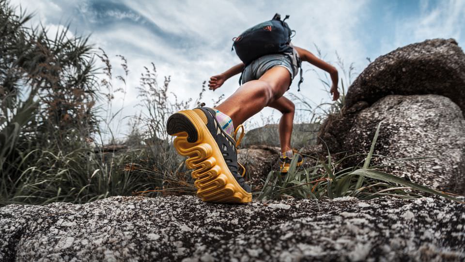
- Hiking
- Cycling
- Travel Highlights
- Event Highlights
in the greater Palatinate region.
BBQ Hut
Castle Lichtenberg
Burg Lichtenberg
Burgstraße 16
66871 Thallichtenberg
Short Description
Explore Germany´s largest castle ruins at castle Lichtenberg.
Opening hours
Every day: 10 a.m. - 5 p.m.
Contact information
Phone: 06381 8429
Children's Playgrounds
Reichenbach
Elementary School
66879 Reichenbach-Steegen
Ringstraße
66879 Reichenbach-Steegen
Steegen
Bahnhofstraße
66879 Reichenbach-Steegen
Fockenberg-Limbach
Höhenstraße
66879 Reichenbach-Steegen
Circular Cycle Trail through the Palatinate
Course: Weilerbach - Oberstaufenbach - Neunkirchen am Potzberg - Fockenberg-Limbach - Mackenbach - Kaiserslautern - Otterbach - Pfeiffermühle
Short description
The starting point is the town center of Weilerbach on the former railway line in the Bahnhofstrasse. From there, the round trip follows the signs for the "Pfälzer Land Radweg" to the center of Oberstaufenbach. There, the HBR signposted connecting route via Neunkirchen on Potzberg and Fockenberg-Limbach to Mackenbach branches off to the "Barbarossa Cycle Path". From Mackenbach the round trip follows the signposting of the "Barbarossa Cycle Path" via Rodenbach to Kaiserslautern. From the corner of K 1 / Rütschhofstraße in Kaiserslautern, the tour follows the signs for the "Lautertal Cycle Path" via Otterbach and Katzweiler to the level of the Hirschhorn Bordenmühle. From there, the bike tour follows the signposting of the "Pfälzer Land cycle path" and leads through the Pfeifertal back to the starting point in Weilerbach.
Key data
Distance: 53 km
Ascent: 324 m
Descent: 324 m
Cycle route "Pfälzer Land"
Course: Enkenbach - Alsenborn - Otterberg - Weilerbach - Niederstaufenbach
Short description
The "Pfälzer Land" cycle path is with its 43 km the east-west connection from the Alsenz at Enkenbach-Alsenborn, through the North Palatinate highlands and thus leads directly through the union community Otterbach-Otterberg, to Niederstaufenbach.
The bike path leads through diverse, varied landscapes and offers good combination possibilities with other cycling tours.
Key data
Distance: 43 km
Ascent: 150 m
Descent: 195 m
Small soccer pitch
Wildlife Park Potzberg
Wildpark Potzberg
Auf dem Potzberg 1
66887 Föckelberg
Opening hours
Every day 10 a.m. - 6 p.m.
From the end of March to the end of October there are flight shows with royal eagles, mighty vultures, quick hawks, shrewd kites, and cunning buzzards. The flight shows start at 3 p.m.
Point of contact
Harald Schauß
Phone: 06385 6249
E-mail: wildpark(at)potzberg.de